Following on work done on Jan 17, 2023 (Inebolu) and Jan 20 (Cide), we offer a large area in central northern Anatolia.
Mapping areas like this provides a powerful context for how large Anatolia, and thus modern Turkey, is compared to Europe — and more to the point, how empty parts of it are. 150 miles from east to west and 70 from north to south, this is an adventurer's dream, with large unoccupied forests and open scrub plains ("Mediterranean" vegetation) that, although a part of history for 3,500 years by the count of my game world, remain untapped and uncivilised. Nearly all of it consists of hills or rocky fields, impractical for agriculture, severely plundered with regards to raw material resources and, so far, not cleared as it would be once the industrial revolution gets going. Thus we look at lands that were under the control of the Hittites, Phyrgians, Romans, Byzantines and Ottomans, to name the major players, but yet forever the "outer provinces" that would be bureaucrats hoped not to be assigned to.
The next section, further west, may or may not reach the Bosporus; I believe it's going to be close. Two more sections like this should get me out of Turkey and into northern Greece, possibly skirting the northern coast of the Aegean. I'm a little anxious to try the Greek Islands in this scale (though when I get there I'll probably hate it), but I don't think that's going to happen on this pass. Next time around I suppose, which by this pace, will be two and a half years from now.
I almost forgot, I wanted to include an image of that wild bend of the Kizilirmak River, the really big one on the map. Isn't this something:


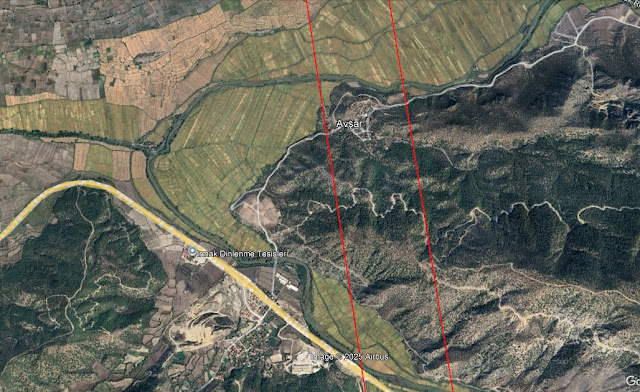
So many little interesting places you'd never learn about if you weren't looking for them. Avsar looks like an interesting little village.
ReplyDelete