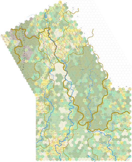
First of two posts today. To begin, here's an image of the Kiyev sheet, to date. Won't be finishing that upper right hand corner for awhile.
Labelling still needs work, at least from the standpoint of large pictures. Got to darken up the geographical descriptions and the political labels also. But, not pressing. Play around with it going forward.
Here's an image of the Czernowitz and Kiyev sheets together:
Gets harder and harder to see the whole picture without having to give up a level of detail. Mostly it's just lines and hexes, unless we know just what we're looking at.
On the subject of forward mapmaking ... yesterday I talked about the ragged edge of what's been mapped so far. Here's an updated image from GoogleEarth for the sections that have been completed:
So, not nearly half of the Ukraine done. It's a big country. But the reader can see what I mean by the eastern edge. My intention is to the continue with a southeast progression until coming even with the yellow rectangle on the map, though that means doing more that three sections in a line before moving south. Then, with that evened up, I'll come southwest until I hit Bulgaria and Thrace in Turkey. There's a small chance I'll map some of Bithynia, the bulge showing in Turkey south of the label for the Black Sea. I'm actually looking forward to mountains.


No comments:
Post a Comment
This blog is moderated. Stay on topic.